Video

Admin role

Learner access and pathways, Educational outcomes, Distance and flexible learning, Teaching strategies Natural and physical science
Published: 17 September 2020

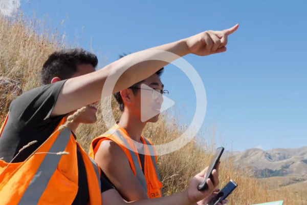
John Thyne from the University of Canterbury explains the admin role of the Arc GIS site and the different ways that students can access and use the data. 

PROJECT

Bring Your Own Device (BYOD) to Field Class: Integrating Digital and Community Mapping in Field-Based Coursework

Research utilising interactive technology to develop community mapping programmes in geology and geography field classes. 

Read more

Co-funded by

Ako Aotearoa’s
Regional Hub Project Fund

Partnered with

University of Canterbury and Frontiers Abroad
Related Content

Project prep

Video

Project prep

Dr Heather Purdie and Dr Sam Hampton from the University of Canterbury talk about how to adequately prepare to use apps and devices with your class, in particular Arc Collector.  

Evidence informed practice

Video

Evidence informed practice

Associate Professor Erik Brogt, Dr Kate Pedley and Dr Tim Stahl from the University of Canterbury talk about how to integrate the use of devices effectively so that they aid the learning and don’t take away from it.  

Student training

Video

Student training

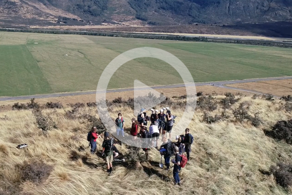
Dr Tim Stahl, Dr Heather Purdie and Dr Kate Pedley from the University of Canterbury explain what they do to train students to use the apps and devices and why it’s important.