
Integrating digital and community mapping in field-based coursework
This report provides an analysis and evaluation of a Bring Your Own Device (BYOD)
initiative for field trips in Earth Science classes to supplement traditional field techniques in the geosciences with new technologies that improve learning outcomes.
The accompanying framework will help guide educators in their decision-making process around BYOD in field trips as well as providing a recommended workflow.
Resource download:
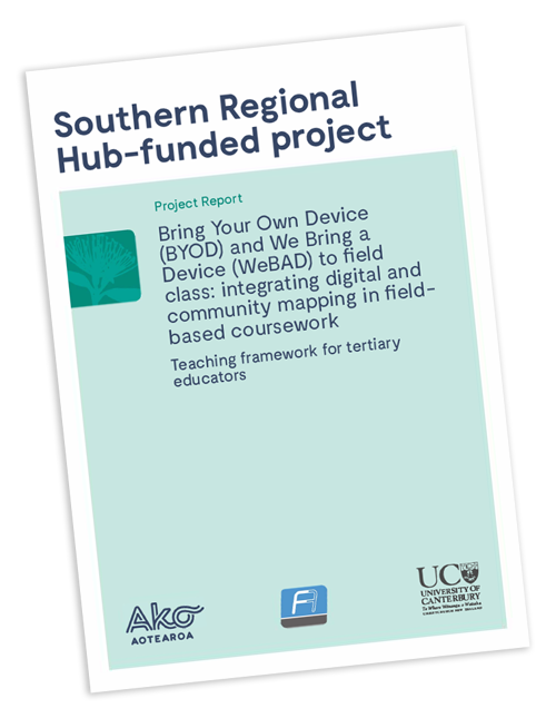
The BYOD/WeBAD Teaching Framework mapped to ‘guiding questions’ and a recommended workflow for teaching staff (PDF, 500Kb)
Supporting videos:
BYOD to field class | Dr Tim Stahl from the University of Canterbury talks about the Arc Collector app which is used by fieldworkers to capture data. He talks about how to use it, the benefits of it and how it compares to similar apps.
Admin role | John Thyne from the University of Canterbury explains the admin role of the Arc GIS site and the different ways that students can access and use the data.
Project prep | Dr Heather Purdie and Dr Sam Hampton from the University of Canterbury talk about how to adequately prepare to use apps and devices with your class, in particular Arc Collector.
Evidence informed practice | Associate Professor Erik Brogt, Dr Kate Pedley and Dr Tim Stahl from the University of Canterbury talk about how to integrate the use of devices effectively so that they aid the learning and don’t take away from it.
Student training | Dr Tim Stahl, Dr Heather Purdie and Dr Kate Pedley from the University of Canterbury explain what they do to train students to use the apps and devices and why it’s important.
Pre feild prep | Dr Tim Stahl and Dr Kate Pedley from the University of Canterbury talk about how they prepare their students for going out into the field and explain what processes need to be done in advance.
Non-research student feedback | Students from the University of Canterbury give their feedback on how they find using devices during field-based coursework, what they use them for and how they use them
Research student feedback | Students from the University of Canterbury give their feedback on how they find using devices for field-based coursework.
Background:
A 2-year project, completed in 2020, to utilise a field data collection app to incorporate technology, improve spatial awareness and sense of place, and develop community mapping programmes in geology and geography field classes.
A collaboration of the University of Canterbury and Frontiers Abroad.
Resources prepared by Tim Stahl, Heather Purdie, Dona Banerjee, Erik Brogt, Kate Pedley, Sam Hampton, Ben Kennedy and Jon Thyne.
Co-funded by the Ako Aotearoa Regional Hub Project Fund (RHPF)